The store will not work correctly in the case when cookies are disabled.
This website may use cookies to store information on your computer. Some help improve user experience and others are essential to site function. By using this website, you consent to the placement of these cookies and accept our privacy policy.Learn more.
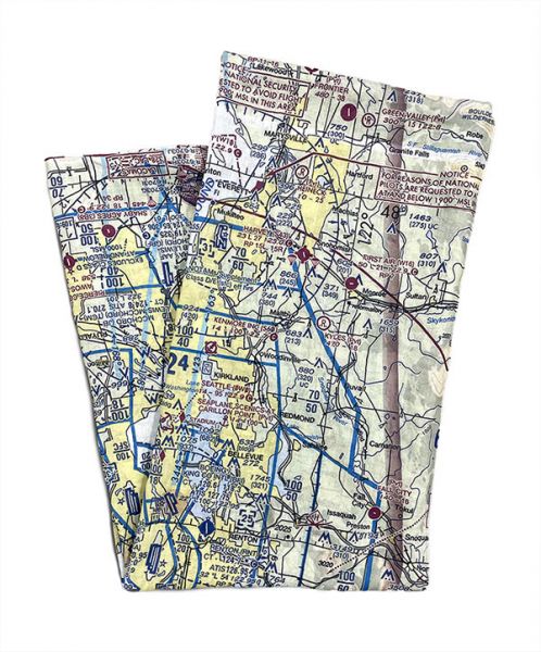
Sectional charts are aeronautical maps designed for navigation under visual flight rules. They show topographical features and terrain elevations, as well as ground features such as airports, highways, buildings and obstructions. Charts also show information on airspace classes, radio frequencies, navigation routes and way points.